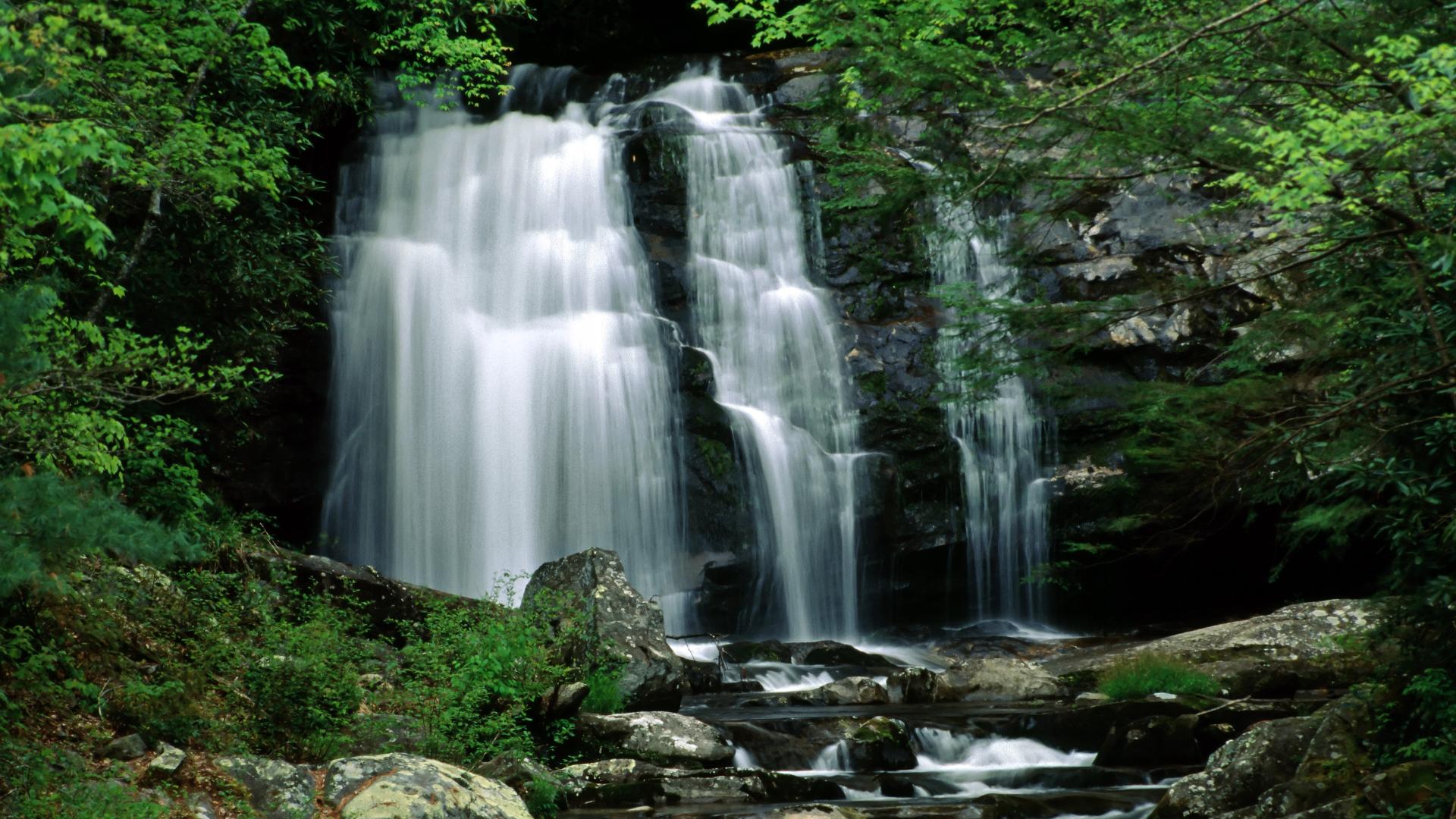
The Great Smoky Mountains boast over 2,000 miles of streams and rivers and precipitation levels that match that of a temperate rainforest. The result? Over 100 waterfalls and cascades to discover within the park borders!
Large waterfalls attract the crowds, but smaller cascades and falls can be found on nearly every river and stream in the park. There are several waterfalls near Gatlinburg in the Great Smoky Mountains National Park that are easy to find and access. Some waterfalls you can drive up to, others you might have to walk, still others can be found in the back country miles from the nearest road.
-
Abrams Falls
Abrams Falls is named for a Cherokee chief whose village once stood several miles downstream. Its striking appearance is a wonderful reminder of the natural beauty of the Great Smoky Mountains National Park.
Trailhead Access: Parking lot North of Cades Cove Visitor Center
Trails to Take: Abrams Falls Trail
Difficulty: Average / Half Day
-
Grotto Falls
There’s something magical about standing behind the wall of water as it cascades to the ground at Grotto. This is the only waterfall in the Smokies where you can do this.
Trailhead Access: Parking Lot off Cherokee Orchard Rd. (Roaring Fork Motor Nature Trail)
Trails to Take: Trillium Gap Trail
Difficulty: Moderate / Hourly
-
Hen Wallow Falls
What is impressive about the Hen Wallow Falls waterfalls in Smoky Mountains is it fans out from a small 2-foot wide stream at the top to a significant 20-foot base.
Trailhead Access: Cosby Ranger Station and Campground
Trails to Take: Gabes Mountain Trail
Difficulty: Average / Half-Day
-
Indian Creek and Tom Branch Falls
Indian Creek and Tom Branch Falls is one of the easiest hidden waterfalls in Smoky Mountains to get to.
Trailhead Access: Deep Creek Campground
Trails to Take: Juney Whank Falls Trail, Stone Pipe Gap Trail
Difficulty: Easy / Hourly
-
Juney Whank Falls
The stream and falls are said to be named after Junaluska “Juney” Whank, who may have been buried in the area.
Trailhead Access: Deep Creek Campground
Trails to Take: Juney Whank Falls Trail
Difficulty: Easy / Hourly
-
Mingo Falls
The waterfall is one of the tallest and most beautiful in the southern Appalachians.
Trailhead Access: Cherokee Indian Reservation (Mingo Falls Campground)
Trails to Take: Pigeon Creek Trail
Difficulty: Average / Hourly
-
Laurel Falls
The 80-foot cascade is one of the most-photographed spots in the Smoky Mountains.
Trailhead Access: Parking lot at Fighting Creek Gap (near Elkmont) on Little River Road
Trails to Take: Laurel Falls Trail (Paved)
Difficulty: Easy / Hourly
-
Mouse Creek Falls
The hike to Mouse Creek Falls is one of the most unique of all of the waterfalls in Smoky Mountains.
Trailhead Access: Big Creek Campground
Trails to Take: Big Creek Trail
Difficulty: Moderate / Half-Day
-
Rainbow Falls
Rainbow Falls is true to its name because of the rainbow produced by mist from this 80-foot high waterfall on sunny days.
Trailhead Access: Parking lot off Cherokee Orchard Rd. (Roaring Fork Motor Nature Trail)
Trails to Take: Rainbow Falls Trail
Difficulty: Average / Half-Day
-
Ramsey Cascades
The tallest waterfall in the park at 100 feet, the Ramsey Cascades tumble into a shallow pool with a meditative, mind-clearing hush.
Trailhead Access: At Greenbrier Ranger Station take road up to a fork. Take the left road along Middle Prong. Trailhead is at the end of the road.
Trails to Take: Ramsey Cascade Trails
Difficulty: Expert / Full-Day
-
Place of a Thousand Drips
During wet periods, this waterfall is dramatic as the flow of water splits into numerous small channels cascading around rocks and creating “a thousand drips.”
Trailhead Access: At the end of the Roaring Fork Motor Nature Trail.
Trails to Take: No trail, falls are near road.
Difficulty: Drive-to falls
-
The Sinks (Meigs Falls)
This waterfall is short in stature, but its volume includes the entire flow of Little River.
Trailhead Access: Right off Laurel Creek Road at the Meigs Creek Trailhead.
Trails to Take: No trail, falls are near road.
Difficulty: Drive-to falls


